How do you mourn a landscape?
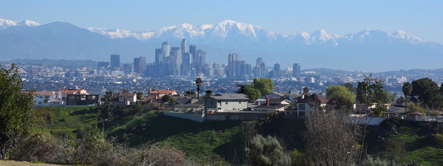
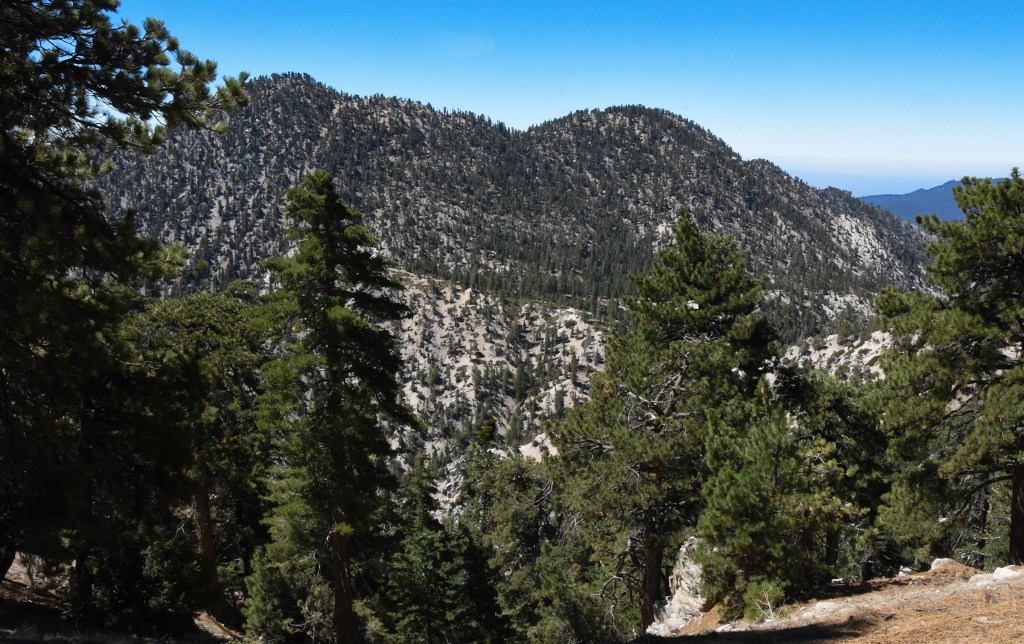
In mid-July, my son and I took a drive up into the Angeles National Forest for a short hike to Winston Peak. COVID had put a stop to most of my hiking this year except for some short outings in my local park. Heading into the fifth month of ‘safer at home,’ I needed to get out. With news of crowded trails, I figured heading deeper into the national forest would get me away from people and their germs.

An hour drive up the Angeles Crest Highway we left behind the crowds and reached the trailhead. The trail wasted no time and started uphill right away. I quickly realize three things: 1) good god, am I out of shape, 2) there’s a whole lot less oxygen at seven thousand feet than sea level, and 3) how much I’ve missed getting out on the trail and into the wilderness.
A couple of weeks later, we’re back up in the mountains, meeting up with my sister and her son for a longer hike up Waterman Mountain. Being a touch more in shape and more cognitive of the lower oxygen levels, I was able to enjoy this walk in the woods even more.
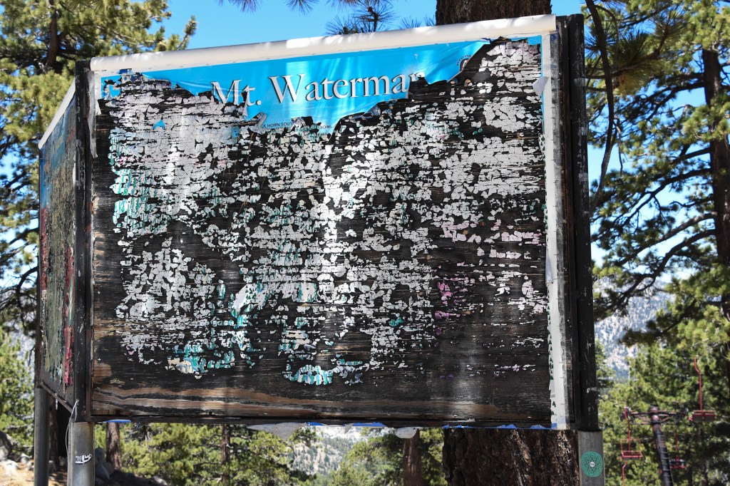
Winston Peak lies directly north of Waterman Mountain and is within a few miles. The Angeles Crest Highway cuts between them, making both trailheads easy to get to. For the San Gabriel Mountains they are mid-size peaks. Winston Peak reaches an elevation of 7,502 feet above sea level, Mt. Waterman topping off at 8,030 feet.

Winston Peak was named after a Pasadena man who froze to death on its slopes while hunting, proving you don’t need to be successful to have a mountain named after you. Waterman Mountain was originally named Lady Waterman’s Peak. It was named by Robert Waterman who was crossing the San Gabriel Mountains with his wife Liz. Believing she was the first white woman that traverse these mountains, he named the peak in her honor only to have the US Geological Service shorten it to Waterman Mountain. Of course, the indigenous Tongva people have been crossing these mountains for thousands of years. Today none of these mountains bear their original Tongva names.
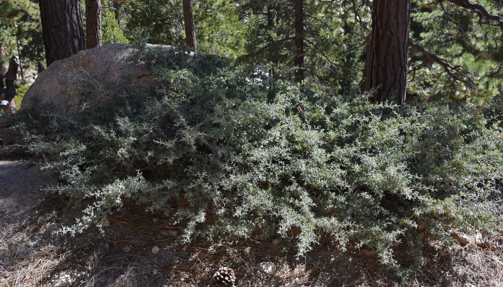
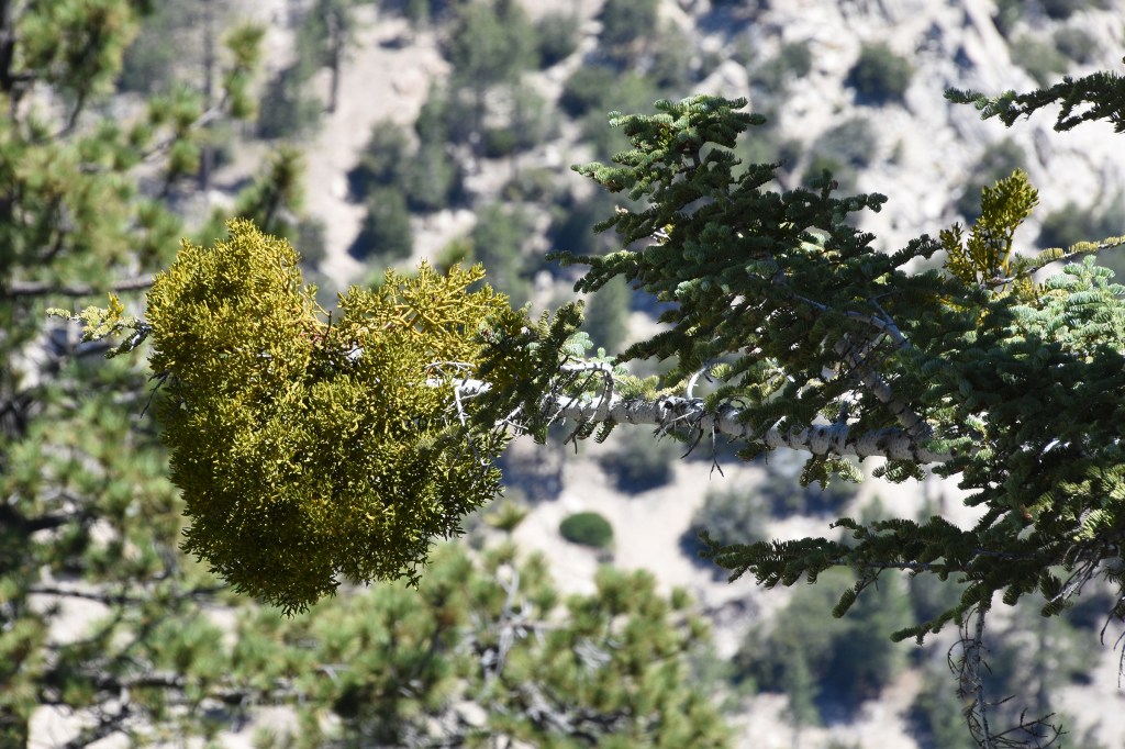
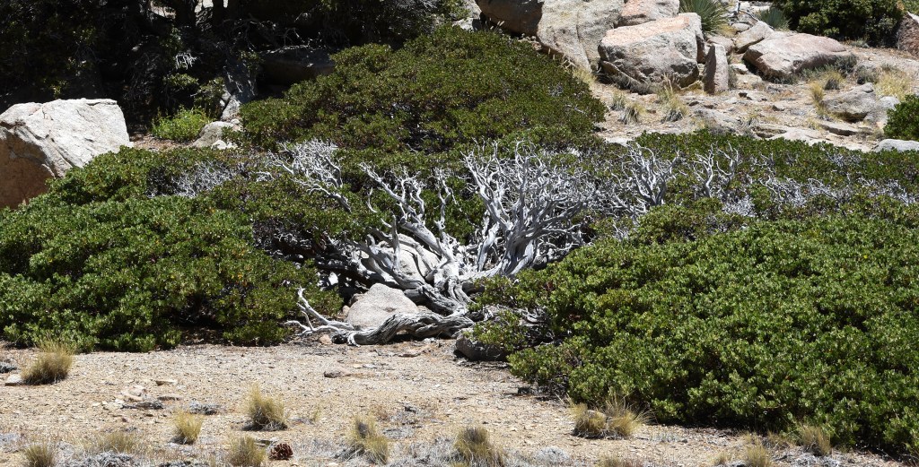
The peaks are covered in a forest of Jeffrey pines, white sliver firs, incense cedar and sugar pines. Like most of the forested areas of the San Gabriels, the woods were open and light. With low annual percepitation and nutrient deficient soils, the trees need space in order to thrive. Undergrowth is sparse, much of it small and compact, reminding me of plants found on high elevation tundra.

But it feels pointless to write about those hikes and the wilderness that surrounded them. Much of what we walked through is likely gone, consumed in a wildfire.
Five weeks after our last hike the Bobcat fire began burning in the lower elevations of the national forest. It was a record breaking day for Southern California as an extreme heat wave hit. Temperatures in parts of Los Angeles reached 120 degrees. Humidity was in the single digits. The fire grew rapidly and resources to fight it were spread thin throughout the state as wildfires raged up and down the coast.
The cause of the fire is still under investigation. If I was a betting man, I would go with human origin: arson, spark from gas motor, a tossed cigarette, downed power lines. There was no lightning that day.
Whenever you hear about fires in the West, there is often information on how much of the eco-systems here have evolved with fire over time. After a century of suppressing fire, we are learning that fire is part of the natural cycle in the western landscape. But can we call what is happening natural? Today, over 80% of the wildfires in the U.S. are man made. In a region like Southern California where lightning isn’t common I bet that figure is over 90%. Throw in an increase of extreme weather events from climate change, the encroachment of human development into wilderness areas, and the misguided policy of fire suppression, even natural fires have become more intense.

Since records started being kept in 1932, 17 of the twenty largest wildfires in California have been since 2000. Of the top ten, the earliest wildfire was in 2003. Two of them are still burning with the August Complex Fire having burnt over a million acres. The largest fire before 2000? That would be the 1932 Matilja fire, having burnt 220,000 acres (Top 20 Largest California Wildfires).
The natural cycle is screwed.
And it is not just wildfires made more intense by climate change. The World Wildlife Foundation came out with a report showing that since 1970, the worldwide population for vertebrae wildlife (mammals, birds, reptiles, amphibians, and fishes), has dropped 66% (Living Planet Report). It varied between regions. In North America the drop was 34% while in South America, 94%. This is considering the overall population of vertebrate wildlife worldwide – individual species rate of decline, or even growth, varies.
The biggest culprit for this loss is changing land use, mainly converting wild land to agricultural use, though the expansion of cities and towns and related infrastructure play a part too. Other threats include species overexploitation, invasive species and diseases, pollution, and climate change.
So for every three animals that were around in 1970, only one exists today. Considering the modern environmental movement started in the late 1960’s with the first Earth Day in 1970, saving the natural world may be a losing battle. Despite the effort of some very dedicated people, the natural world is worse off.
I do what I can, but it is easy to think, does it even matter?

My yard is planted with California natives. Several other yards in the neighborhood also have natives. But will this patch work of native plants among a sea of concrete and lawn have any impact? A bit, I hope, but enough?

What if more people started planting native plants, especially the very plants that were displaced by their homes, stores, and places of work? Even if it’s just a percentage of their yard, it adds up. More impact? How about every government agency and institution that oversees any landscaping make native plants a priority? How many acres of freeway embankments do we have in Los Angeles covered with weeds and foreign plants, many of which are invasive? Give me embankments of scrub oaks, toyon, lemonade berry, laurel sumac, and elderberry, with smaller shrubs of buckwheat, sages, monkey flower, wild roses inbetween. Finish it off by tossing handfuls of seeds from California’s palette of wildflowers. No need to go to the Arctic to fight for embattled nature. It begins in our yards.

I also work doing some habitat restoration. Friday mornings finds me at Kenneth Hahn Park volunteering to pull invasive plants. We’re a small group working in one corner of the park. As we clear out the mustard, thistles, and other invasives, the natives growing there get larger and healthier and new native plants sprout and take root. It’s slow work that’s been going on for years. COVID put a stop to our work through the Spring, so we are now making up for lost ground. But it is only one corner of the park; the vast majority of it remains untouched. Again, is what we’re doing making a big change? I don’t know but we’ll keep pulling.
The appearance and spread of invasive species is one of the top threat to the world’s biodiversity. One of the dangers of the wildfires is it can open pristine areas up to invasive plants. Often annual grasses and herbs brought over from the Old World; these plants can quickly dominate an area preventing native seedlings from getting reestablished. These grasses, by the way, are more flammable than the native brush it replaces increasing the fire danger.
The role of wildfires in the West is a complex one, developed over eons. Many of the West’s eco-systems are adapted to fire. The region’s plants have evolved unique adaptations to deal with fire. In the Rockies, the cones of the lodgepole pine remain tightly closed, releasing their seeds only after the heat of a fire triggers the cones to open up. The sequoias and redwoods wear a thick coat of bark filled with tannins making them fire resistance. Nor do sequoia seeds germinate till after a fire has gone through the area, opening up the forest’s floor and leaving a layer of ash for fertilizer. Many chaparral plants, like the toyon, form a burl – a dense woody growth formed just below the surface. After the above ground portion of the plant has been burnt, new growth springs up from the burl, sometimes within weeks after the fire.
The chaparral has adapted to recurring fire, but this adaption is dependent upon a fire cycle of over 30 years in between fires. Much like forests, chaparral goes through a series of successions following a fire – first, wildflowers and native grasses return with pioneer shrubs such as coyote brush taking root. The coyote brush provides shade and cover for seedlings of plants like ceanothus. These plants will eventually outgrow the earlier plants and come to dominate. Finally, the slower growing shrubs such as manzanita and scrub oaks dominate. But this succession can take decades. Too frequent fires, and many of the chaparral plants may never return (see ‘Denying the Threat of High Fire Frequency in the Chaparral.’)

So the issue isn’t fires, but the intensity of the current fires. In a healthy forest, a wildfire can burn away debris and undergrowth at a low intensity, often doing little damage to the trees. This opens up the forest floor for new plant growth that before was smothered by old growth and debris. Past efforts to suppress naturally caused fires results in an increase of old wood and debris. The suppression, in turn, then causes a build up of potential fuel. Once a fire does start, the built up fuel causes the fire to burn hotter and faster. In this type of fire, even the mature trees aren’t safe from burning.
Building communities and homes in fire prone areas without requiring extensive fire protection adds to the problem and leads to more opportunity for human caused wildfires to start. These built up areas also means firefighters end up concentrating resources to protect homes but that isn’t necessarily the best strategy to stop the fire.

When the Bobcat fire was threatening the homes at the base of the San Gabriels, that was where the most intense fire fighting took place. And, appropriately, that’s what had to happen. While necessary, it meant the fire was burning unchecked into the San Gabriel Wilderness Area within the Angeles National Forest. Over half of that protected wilderness area was consumed in the fire. Crossing the Angeles Crest Highway, the fire then reached the Pleasant View Ridge Wilderness Area. From the fire maps, it appears three fourths of that area got burnt.

Walking through an area that was recently burned in a wildfire is a surreal experience. Everything is black and brown. The ground is a layer of ash. Dead trees stand with bark of charcoal. Even the rocks are black. Anything you touch leaves a smudge of black ash on your fingertips. It is as if no other color exists. But then in the middle of the burnt area, almost impossibly, will be a strip of green – an area of trees or brush, perhaps on a ridge or in a ravine, that some how was left untouched. Among all that was lost, it is a welcome and bittersweet sight.

It will be the same within the area burnt by the Bobcat fire. Isolated patches of green that were some how spared. In some places the fire may have burned at a low intensity, not consuming everything in its path. In other places, a change of wind direction or a drop of fire retardant may have spared a patch of green. On our hikes scars of past fires could be seen on older trees that survived.

Climate change may not be the cause of the fires; it does make the fires worse. As summers get warmer and there are more extreme heatwaves, plants become even more dry than in years past. The result is more easily ignited fuel. Another issue is the California rainy season becoming more compact, with a bulk of the rain falling into a narrower period. The end of the fire season comes when the first big storm of the season hits, usually mid-autumn. The later the storms come, the longer the fire season. (Read ‘Why we’re more confident than ever that climate change is driving disasters’ about how climate change affects wildfires. On how California’s rainy seasons will be affected, ‘Study forecasts a severe climate future for California.’ )
Even in the best of times though, Southern California is dry. Most of our rain comes during December through March. In especially dry years, it can be nine months with no significant rainfall.
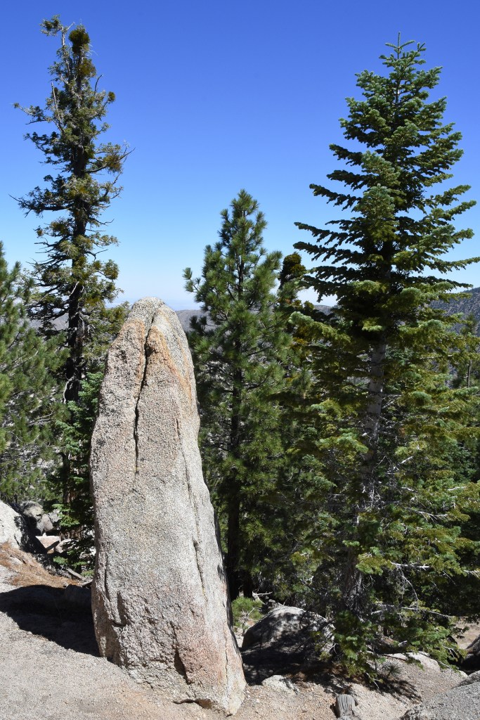
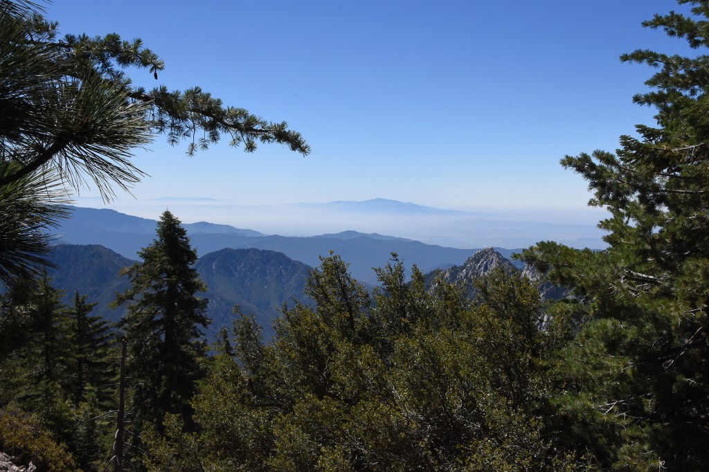
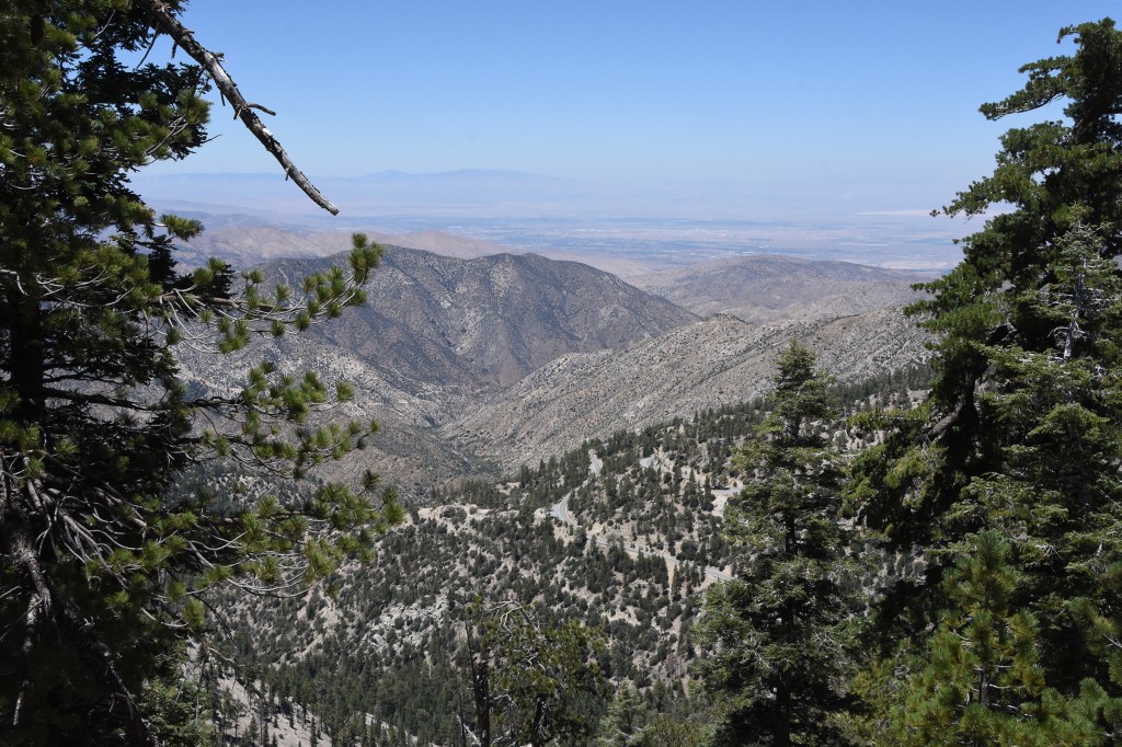
Hiking up Mt. Waterman I could feel the dryness in my throat. It was more than being thirsty. The air just sucked up the moisture. Dust coated my mouth and each breath drew more water out of me. At higher attitudes the thinner atmosphere doesn’t hold as much moisture, resulting in lower humidity. Nor does the soil help. The San Gabriels are a younger mountain range, one that is actually still being pushed up. The soil on its slopes is mostly fine granite grains (think sand with an edge) that holds little moisture, so snow melt and rain fall is quickly run off or evaporated. Yet some how, the trees still grow large and strong.

Below us, Los Angeles and its suburbs are hidden in a haze. It’s a warm day but a cool breeze comes from the not so distance ocean bringing comfort. We rest among flat top trees, sugar pines whose top branches have snapped off from the weight of heavy snow and exposure to high winds.
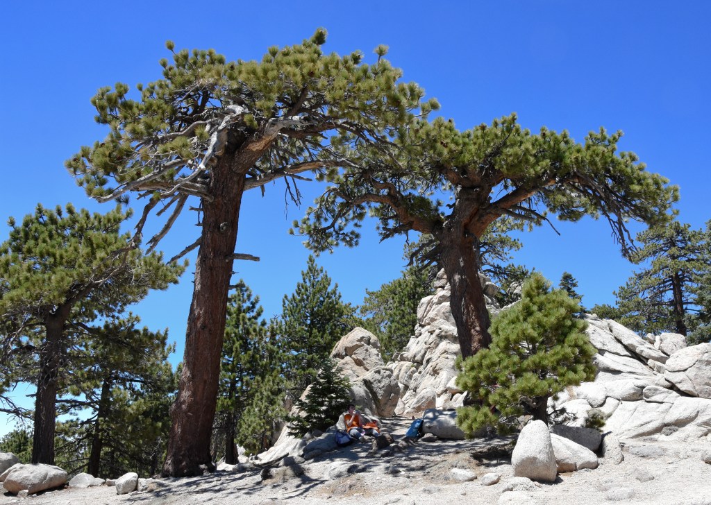
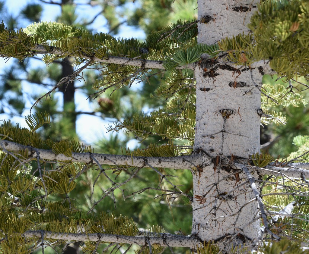
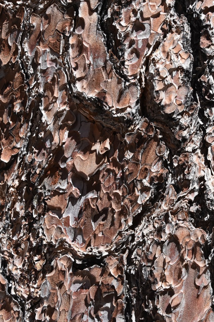
These old trees that grow on the high slopes and peaks are like character actors – not handsome specimens but twisted and bent and gnarled. Just looking at them tells a story. If they were people, they’ll be found in seedy bars or working on the docks. But instead, these silent sentinels are content with their fate and provide a feeling of peace. Many have survived past fires and hopefully some still do. In the dry Southern California mountains these trees don’t reach the size of their brethren that grow in the cooler and more northern Sierras and Cascades. Still the big ones lining the trail have stood for decades, may even hundreds of years.

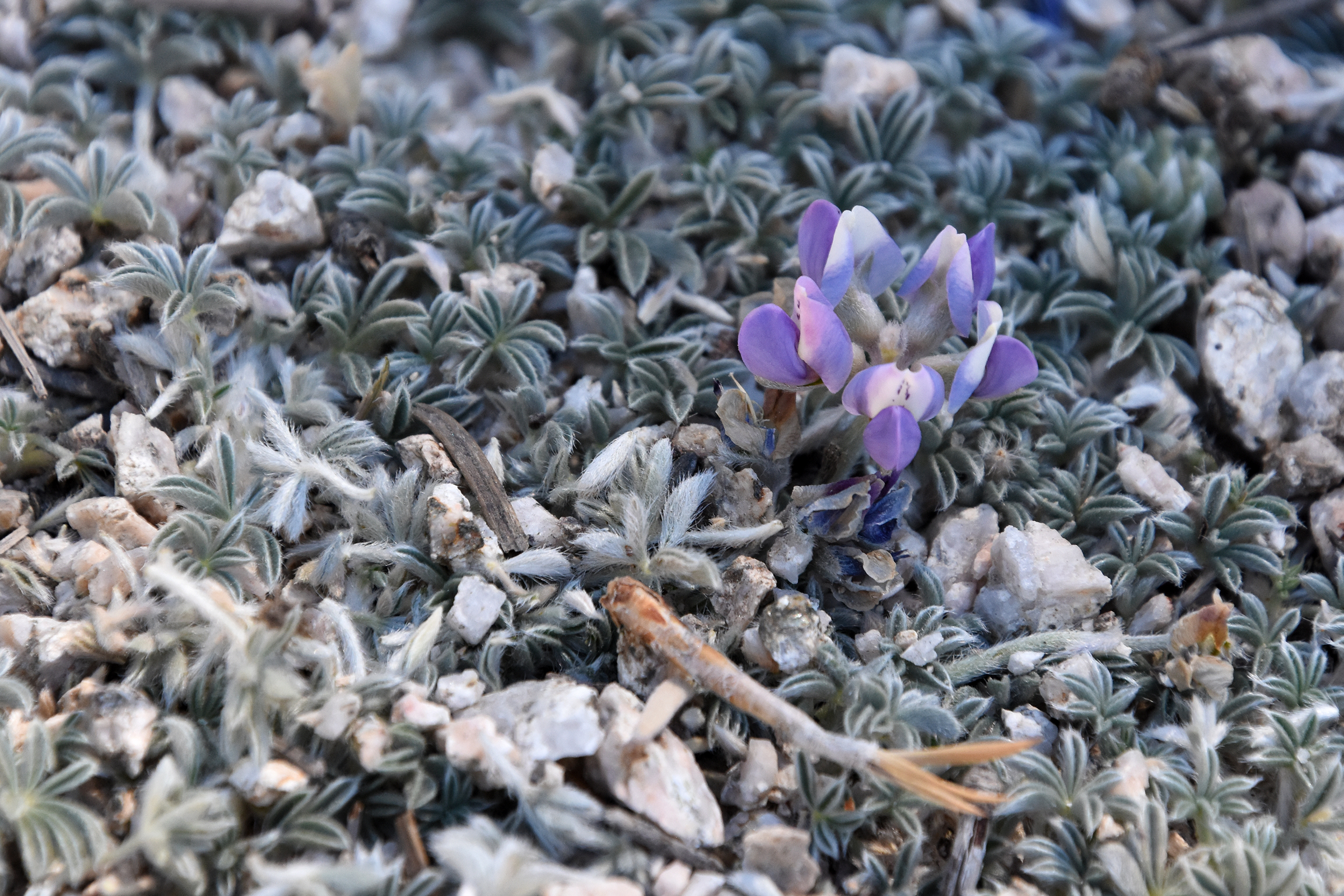
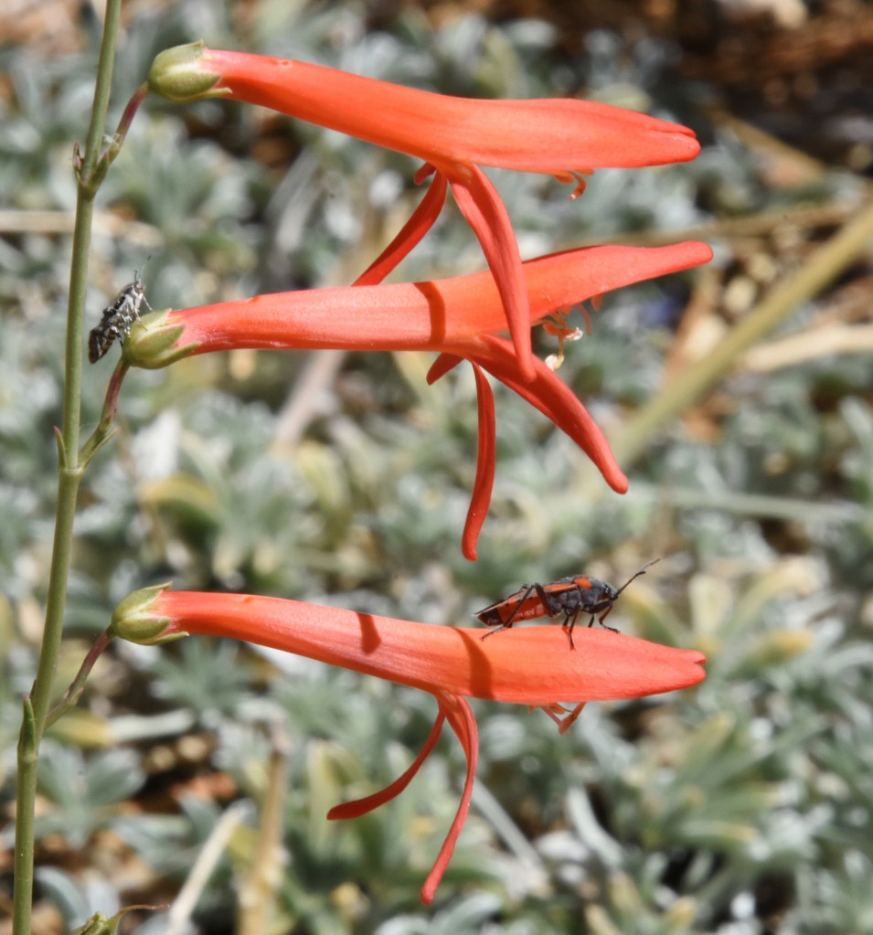
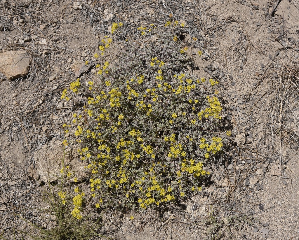
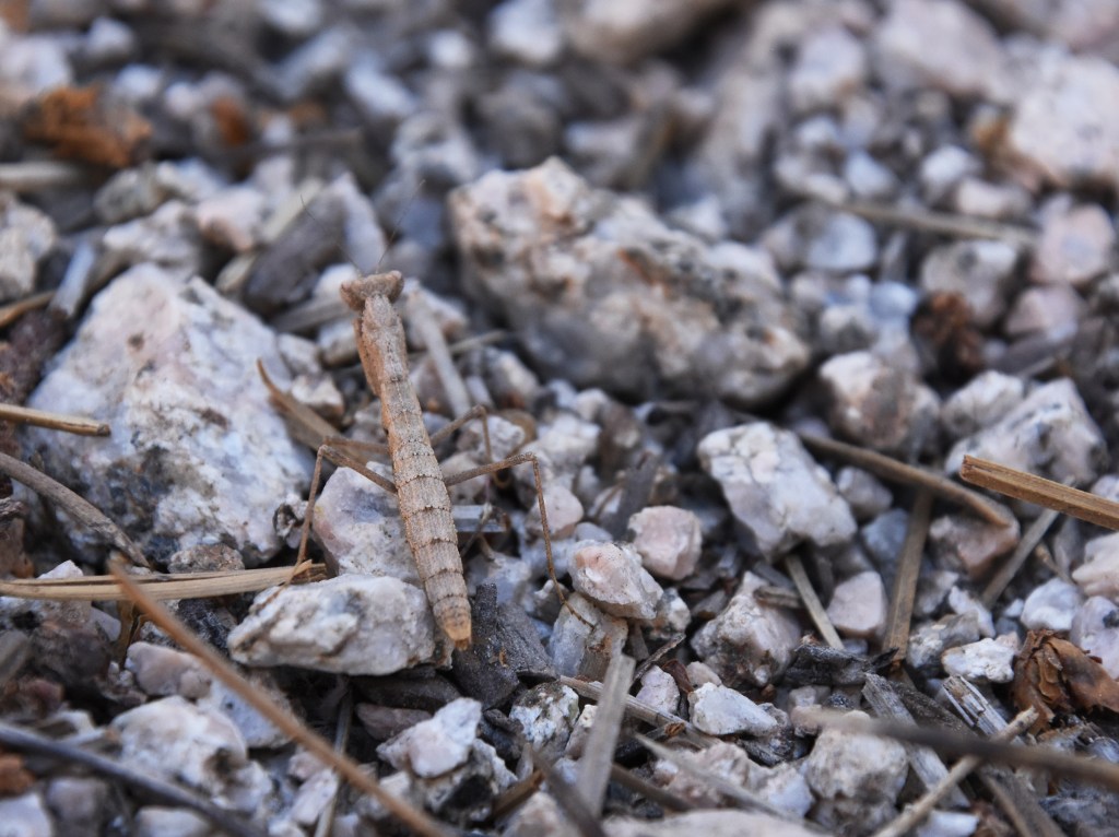
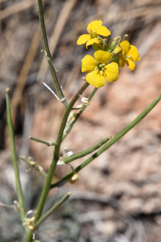
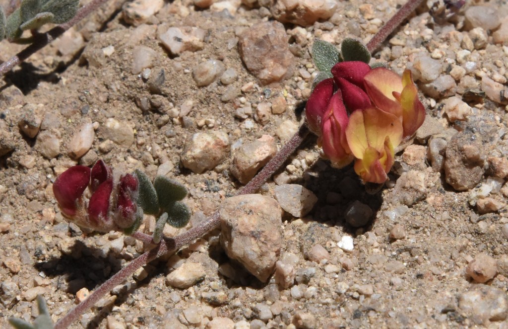
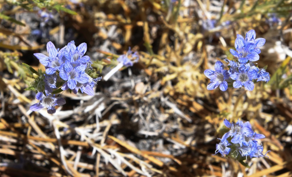
Below the trees, in patches of sunshine grow tight compact plants. I recognize them from their larger cousins that grow below on the hillsides and coastlines of Los Angeles. Lupine, with its palmated leaves, grows in a tight mat. Another plant’s ID is given away by its clusters of tiny flowers blooming on the end of multi-branch stalks – buckwheat. Many species of lupine and buckwheat can be found throughout California, from the coast to the high mountains to the deserts. Each region has its own species, but many of their characteristics are shared with their cousins.

Along our hike, we came upon a tiny reservoir. Built above the ski slopes on Waterman Mountain, the reservoir appears too small to serve much function. It’s about the size of a pond. At the water’s edge, we see a mass of small, wriggling black creatures.
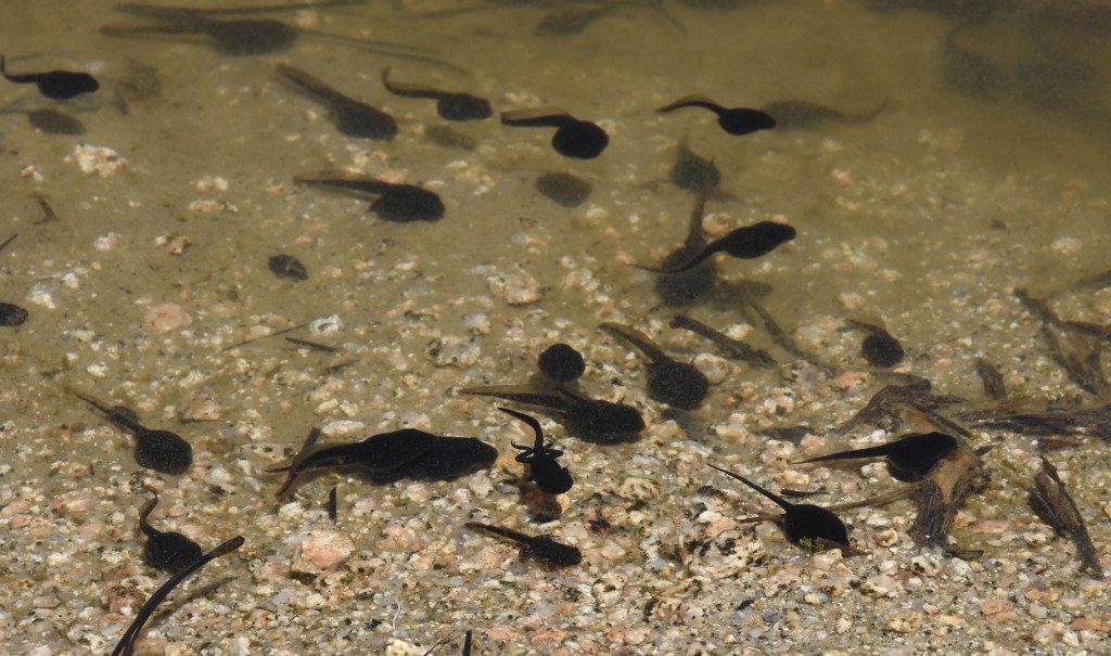
We go down for a closer look. Tadpoles! Reaching their final transition stage, their appearance ranges from a black lump with a long tail to miniature frogs. Some already sport a pair of back legs. Others are more frog than tadpole with a stub of a tail remaining. Or should I say toad?

Looking through my field guide, I believe these may be Western toads, but they reminded me about a locally endangered population of frogs. The mountain yellow-legged frog is found in the mountains of Southern California as well as in the Sierra Nevada’s. Because of habitat loss and predation from invasive species, the number of these frogs found in the Angeles National Forest was estimated to be fewer than 100.

In 2019 a large number of yellow legged mountain frog tadpoles were release in Cooper Canyon with the hope of reestablishing their population. (See ‘Endangered Frogs Reintroduced in Angeles National Forest’). Cooper Canyon lays a few miles north of Mt. Waterman, skirting the east side of Winston Peak. The fire burnt through this canyon too.
Hiking on these mountains brings a sense of serenity. A feeling of walking through an unchanging world, a contrast to our bustling urban areas. Yet that is an illusion. Nature is always in a state of change – sometimes rapidly from natural disaster, sometimes slower than what humans can even perceive. Now though, we are fueling that change at an ever increasing pace. A pace that may result in the loss of many landscapes and the life supported within.
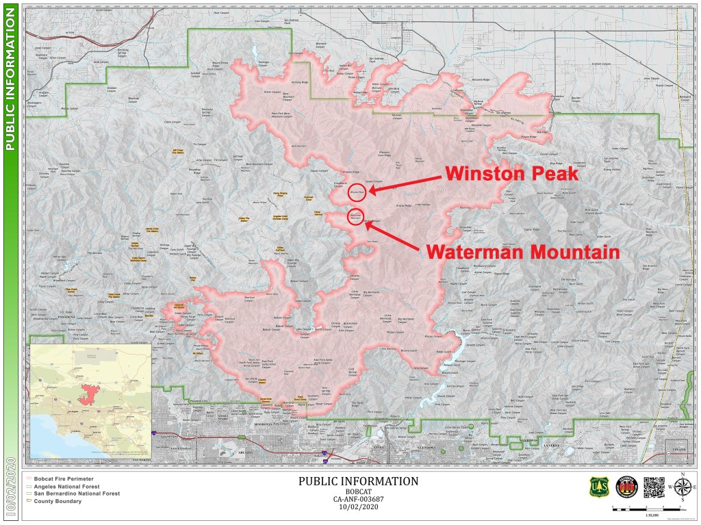
The Bobcat Fire has been contained, having consumed over 115,000 acres. Now begins the recovery. Starting on the south side of the San Gabriel Mountains, the fire burned north, crossing the entire mountain range and burned into the Antelope Valley. Overall, four million acres in California have burnt so far this year.
At times I feel exasperated. Nature is at a crisis point, and I don’t know if humankind will step up to the challenge. Yes, act locally, do what you can, but if governments and nations don’t act, it may not matter. Perhaps human beings will become the first species whose cause of extinction is endlessly arguing if there even is a crisis.

Meanwhile, I found out that our family cabin in the Colorado Rockies is in danger of being burnt down. The Cameron Peak fire is less than a quarter mile away and still burning out of control. The fire has become the largest wildfire in Colorado’s history, currently over 200,000 acres. A list of the twenty largest wildfires in Colorado history reveals that not one of them occurred before 2000 (Twenty Largest Fires in Colorado History).
So, how do you mourn a landscape?

Written and photographed by Alan Starbuck
